
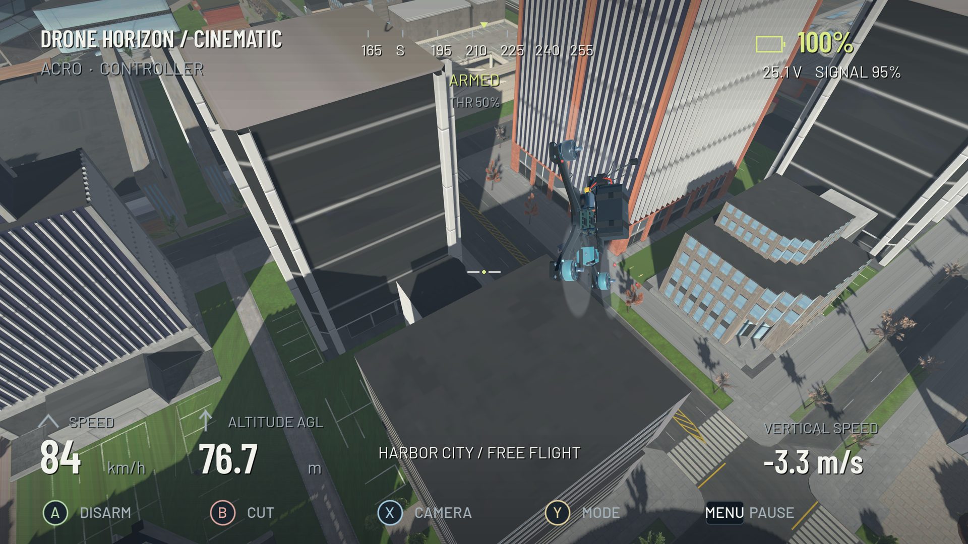
Low-altitude FPV reduces the time available to recover from a height error. The useful training progression is therefore to become consistent at a comfortable virtual height, then reduce it gradually while keeping the route simple. Starting with the tightest ground skim mostly tests how quickly you can reset.
Use a clear, open simulator corridor. Avoid combining your first low-flight attempts with blind corners, a steep camera tilt and a new controller profile.
Establish a height band first
Fly a straight route several times at a height where a modest mistake is recoverable. Use visible ground features and any available altitude display to notice drift. The goal is to remain in a consistent band, not to hold a single number with constant throttle jabs.
Remember that altitude above launch and clearance above the surface below are different. A hill can reduce ground clearance even while an above-launch altitude stays unchanged. Drone Horizon includes flight telemetry and map-dependent ground sensing, but visual route reading remains part of the exercise.
Add turns before lowering the route
A shallow corner often reveals whether height control is stable. Banking redirects thrust and may require a deliberate collective adjustment. If the aircraft drops sharply in a wide turn, practice that coordination at a greater virtual height first.
Return to the same straight route afterward. Reducing height should be the only new difficulty, rather than an attempt to fix an uncontrolled turn by flying faster.
Read the route beyond the immediate ground
Looking only at the surface directly ahead can make corrections late. Identify upcoming changes in terrain, openings and turn exits early enough to plan the line. Keep a visible escape route that lets you climb into clear simulator space rather than steering into another obstacle.
| Error | Better next exercise |
|---|---|
| Repeated ground contact in corners | Broad turns at greater clearance |
| Sudden climb after every dip | Smaller, earlier throttle changes |
| Terrain rises unexpectedly | Slower route familiarization |
| Frame scrapes through low openings | Gate alignment before proximity |
| Control deteriorates in detailed scenery | Check rendering stability and visual clutter |
Understand what collision feedback means
A simulator can teach you where a route intersects its collision geometry. That geometry is still an authored representation of the environment. A detailed-looking surface does not automatically imply perfect collision coverage at every point, and a successful virtual gap does not establish a real-world clearance.
Drone Horizon includes collidable map geometry and impact-based aircraft damage. Its added indoor maps have their own mode restrictions; not every environment is a gate course. Use the maps guide to choose an appropriate practice area.
Lower the route only when the error is small
After repeatable passes, reduce the target height a little and repeat the same line. If the correction size increases dramatically, return to the previous band and inspect the cause. Change speed separately from clearance.
End with a controlled climb-out and landing. Low flight is more useful when you can leave it deliberately, not merely survive it. Pair this drill with throttle control, precision landings and gate training. All spacing choices here describe virtual practice; real flight needs a separate assessment of the actual aircraft, site and operating requirements.